On Monday I left Revillagigedo Island (the island Ketchikan, Alaska is on) for a few hours. I went over to Gravina Island with my bicycle, where our airport is. Yes, this is the island the infamous "Bridge to Nowhere" was suppose to be built to. I'll talk about that in a later post, this post is photos I took while over there. Click an image to view full.
On the ferry, heading over to the airport. By boat is the only way to get over there, costs $5.00 per passenger (round trip), $6.00 per vehicle (one way). Lucky for me, my bike went for free.
Here's where the tunnel is/will be that passes under the airport runway. It's all part of the construction of the "Road to Nowhere" (again, I'll talk about it later). For now, they have a pilot car that escorts traffic across the runway. I had to put my bicycle in the back of the pilot car and ride in the passenger seat to get across (both ways).
This is right on the other side of the runway, the road makes a "T". They wouldn't let me go very far when I turned left here.
That little bridge is all the further I was allowed to go. There's heavy construction ahead. They told me the dump truck drivers drive like maniacs, and it was unsafe for me to ride any further.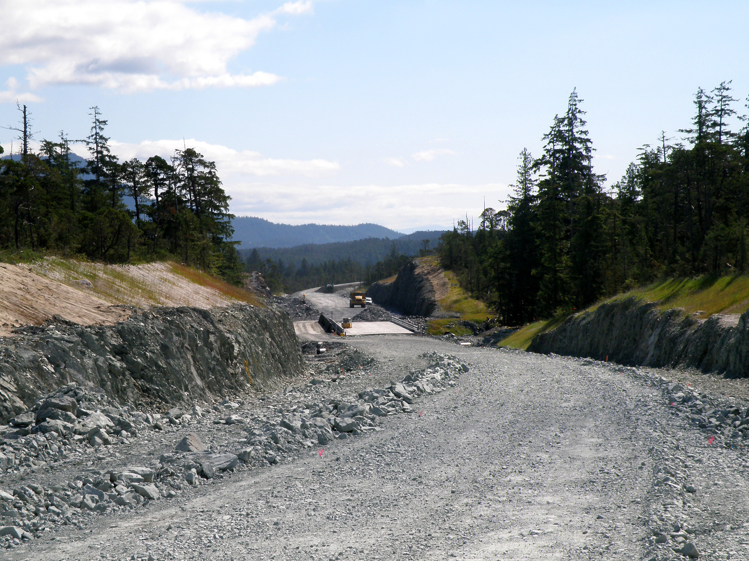
So I turned around and went on the road to the right of the "T" intersection. You can see they have a lot of supplies lined up along the road.
I stopped to take a picture of this pond with Ketchikan in the background.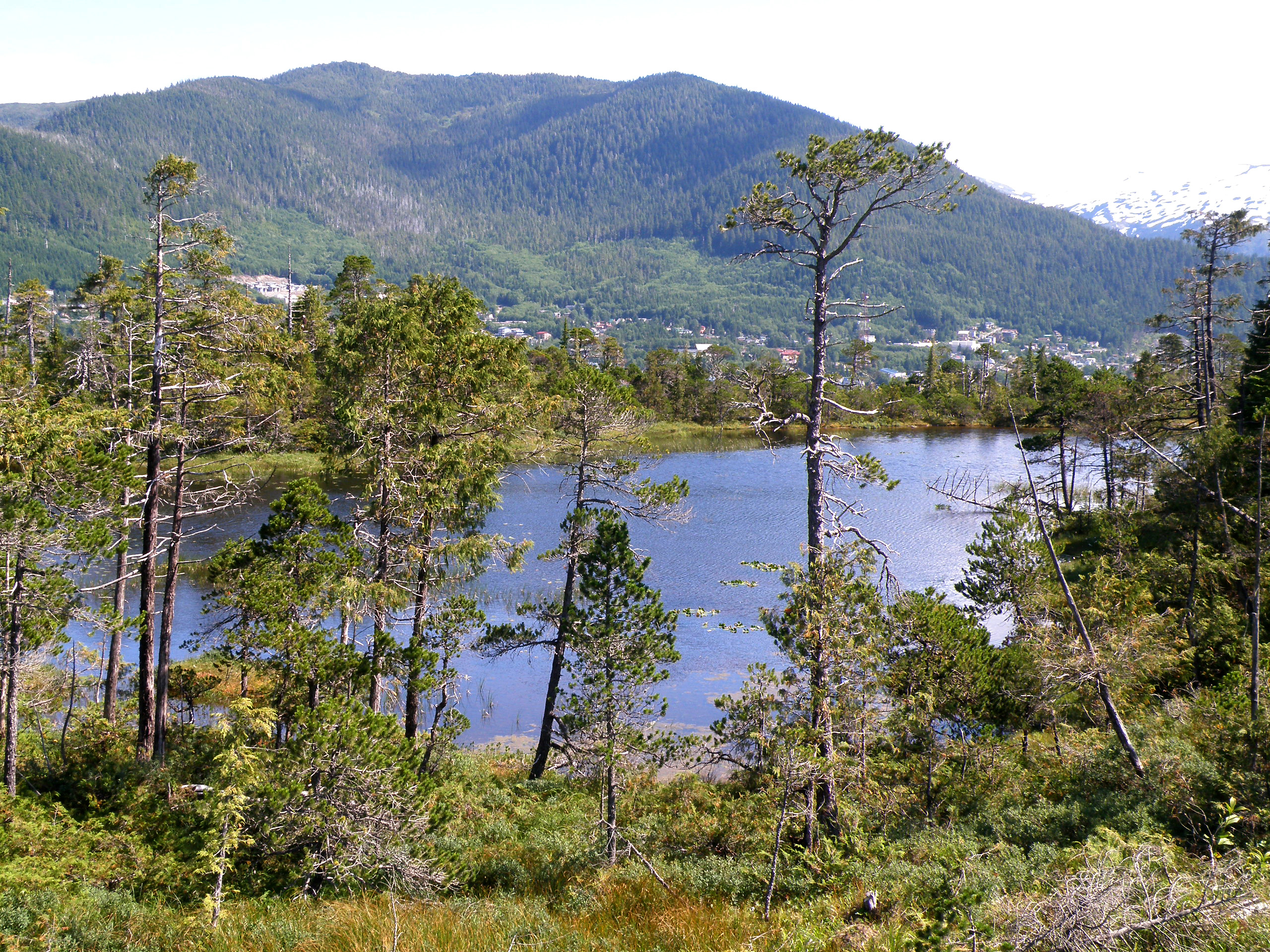
I went up a random side road. I didn't go very far. They dig across old logging roads they no longer use to allow water to drain from one side to the other so it doesn't wash out the road, in case they want to use it again. It also makes it tough for vehicles of any kind to continue on the road. This is the road that I found the bear crap on, by-the-way.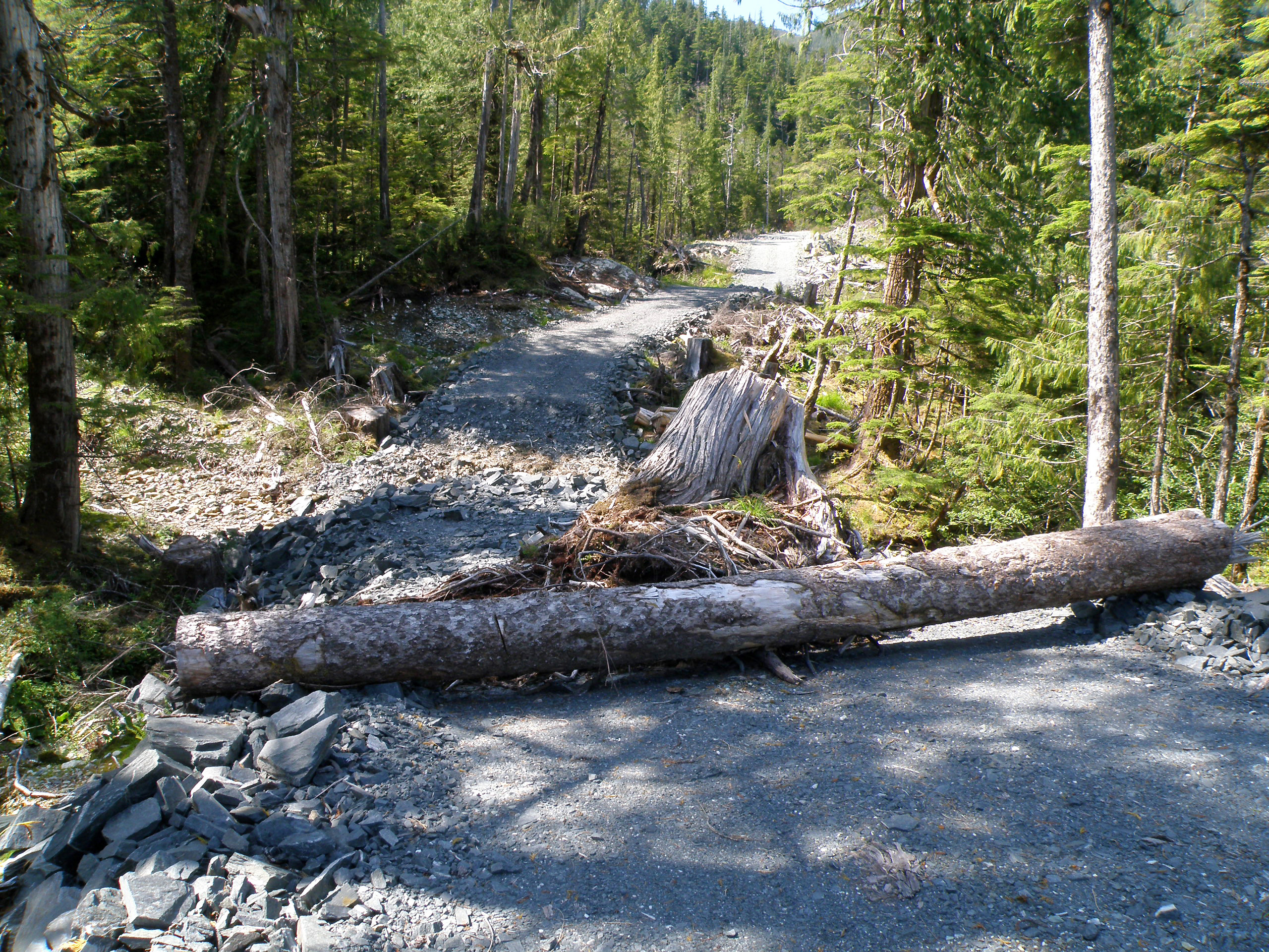
Here's what the road looks like that I've been riding on. Notice all the relatively flat land over here?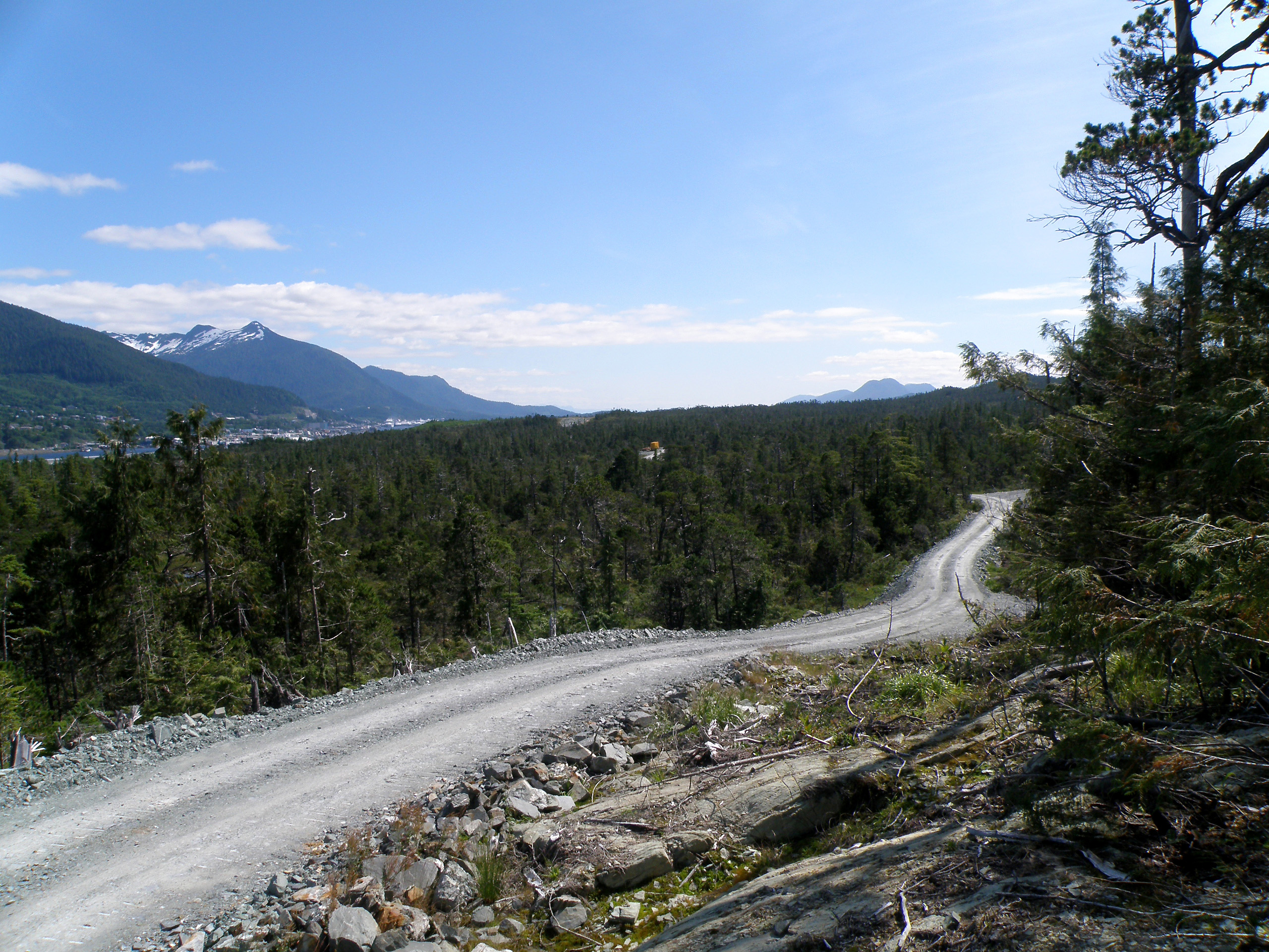
My bicycle, with quite the backdrop.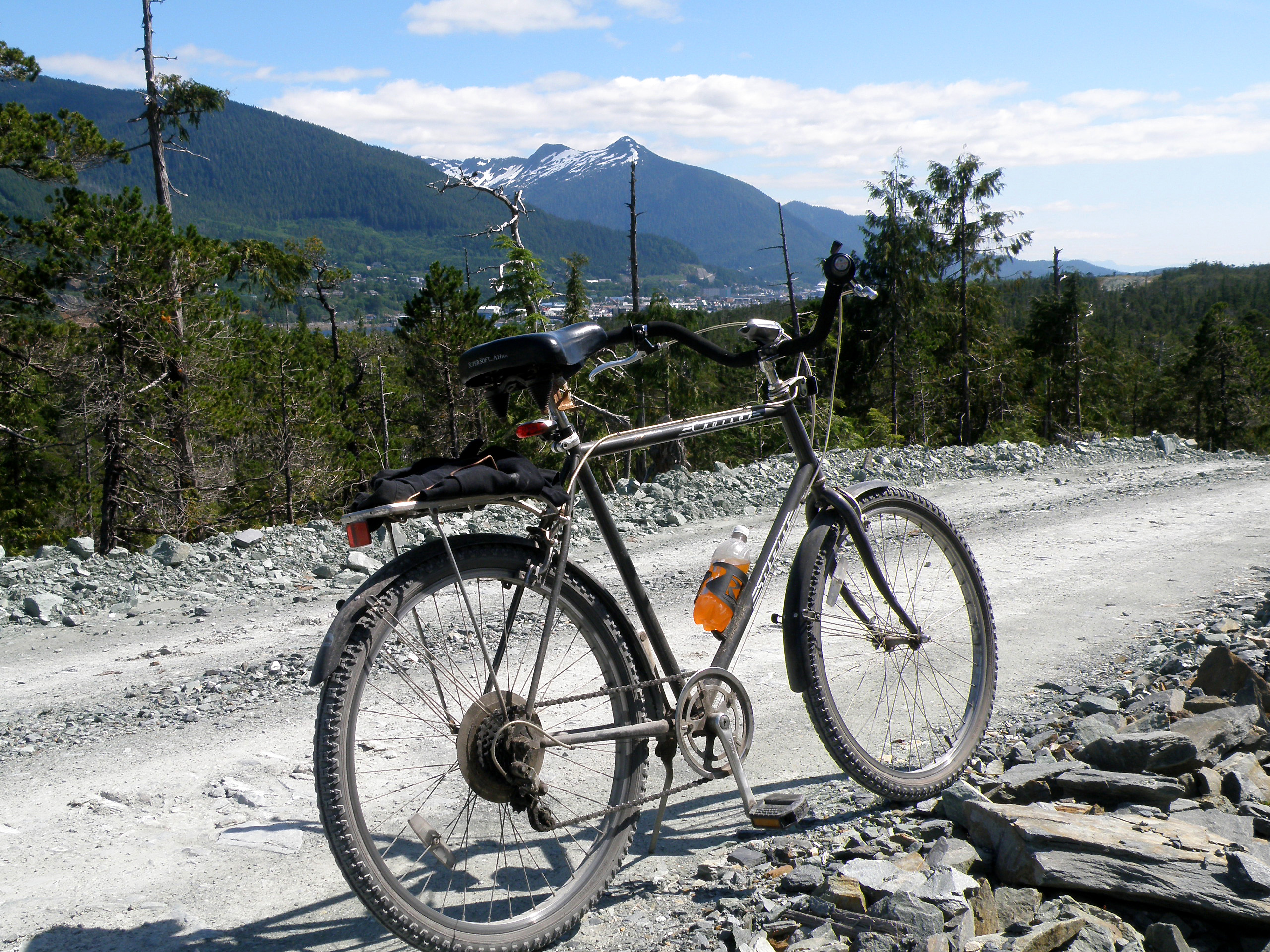
I went up another random logging road, this one took me up a mountain a little ways. It eventually got too rough to comfortably continue. Besides, it was cutting away from the water and going towards the interior of Gravina Island. This is looking back across to Ketchikan. It was a little dusty that day, as you can tell from the picture.
Approaching the tunnel again, opposite side the other picture was. You can see how Ketchikan is built on the side of the mountains.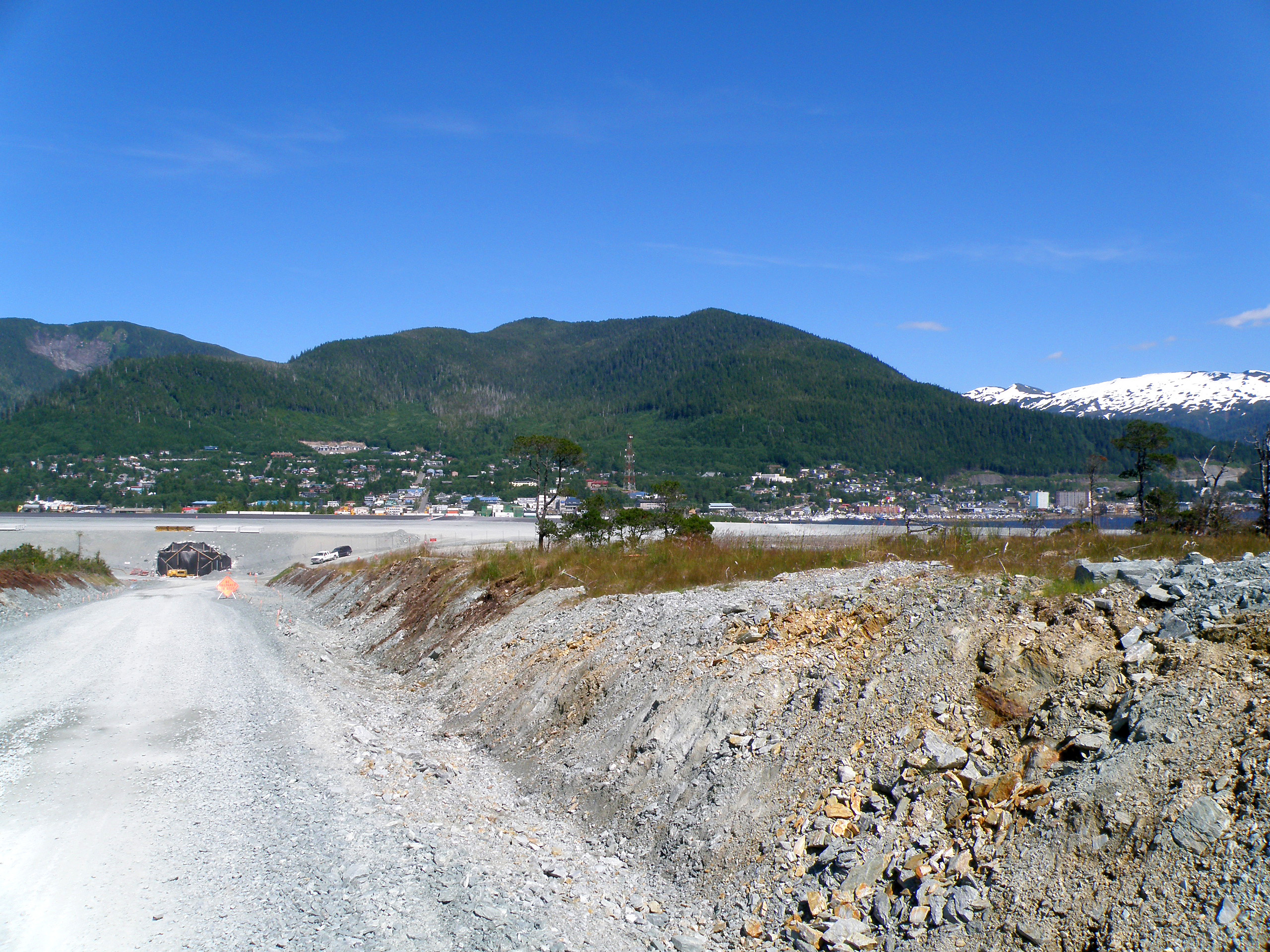
Here, I'm on the ferry heading back to Revillagigedo Island (Ketchikan). I tried to catch the beautiful green left in the wake of the other ferry, but the camera didn't pick up on the color too well. That cruise ship is the Diamond Princess.
EDIT: Here's that later post where I talk about the bridge.
Wednesday, August 6, 2008
«Gravina Island (Photo Heavy)»
Subscribe to:
Post Comments (Atom)
 Some Rights Reserved
That was a fun little tour.
ReplyDeleteWhat a clear day, perfect for an outing.
The 5th pic has some seriously interesting lines in it.... That's cool.
6 is just gorgeous.
Are your parents originally from Ketchikan?
Nope, my parents are not originally from Ketchikan.
ReplyDelete